Копался я по интернетам в поисках способа настроить приёмник GPS в моём ноуте (ибо приёмник, подсоединённый к звуковой карте ноута, просто отправляет данные на скорости 9600 бод на порт COM3, и настройке не поддеётся).
Среди прочего узнал, на базе какого чипа сделан приёмник. Ну, а на сайте производителя наткнулся на очень любопытную ссылку:
http://www.falconview.org/
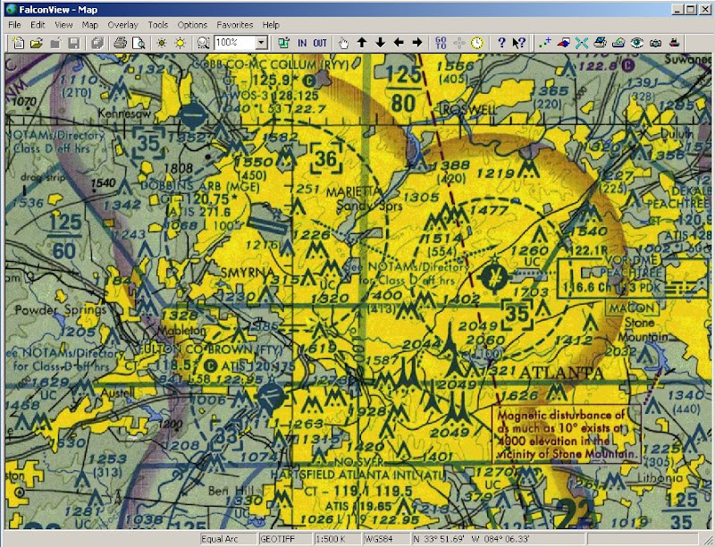
по данной ссылке находится сайт навигационного ПО, созданого в техническом институте штата Джорджия ( http://www.gtri.gatech.edu/ ) для нужд министерства обороны США, а сейчас выпускаемого по открытой лицензии GNU GPL
Фичи программы - на этой странице
http://www.falconview.org/trac/FalconView/wiki/OpenSourceFeatures
В целом весьма любопытный проект. :IMHO
Среди прочего узнал, на базе какого чипа сделан приёмник. Ну, а на сайте производителя наткнулся на очень любопытную ссылку:
http://www.falconview.org/
по данной ссылке находится сайт навигационного ПО, созданого в техническом институте штата Джорджия ( http://www.gtri.gatech.edu/ ) для нужд министерства обороны США, а сейчас выпускаемого по открытой лицензии GNU GPL
Фичи программы - на этой странице
http://www.falconview.org/trac/FalconView/wiki/OpenSourceFeatures
Base Map Types Supported
FalconView supports a handful of base map types including:
GeoTIFF
TIROS TopoBath
Digital Terrain Elevation Data (DTED) / LIDAR
Vector Product Format (VPF)
CADRG
MrSID
Open Street Maps
Additional base map types may be added to FalconView by programmatic extension.

KML Support
FalconView Open Source can display KML and KMZ files. Network links, ground overlays, screen overlays and styles are fully supported. 3D models are not supported.
[media]http://www.youtube.com/v/V_-G1trmx-g?fs=1&hl=en_US&rel=0[/media]
Drawings
The drawing utility allows users to draw custom georeferenced shapes in an overlay that can be saved and shared.

Moving Map Tool
If appropriate GPS hardware is available, FalconView includes the ability to act as a "moving map."

SkyView Mode
SkyView is a fast 3D map viewer implemented to allow pilots to "fly through" their proposed routes, observing charts and overlays as they rehearse their mission.

NITF Support
Elevation Data / Contour Lines
FalconView will display elevation data and can generate contour lines when such data is available.
Coordinate Grid / Coordinate Systems
FalconView supports various coordinate systems including Lat / Lon, UTM, Military Grid and GARS.
Open Street Maps
FalconView can draw Open Street Maps as a base map type.
В целом весьма любопытный проект. :IMHO